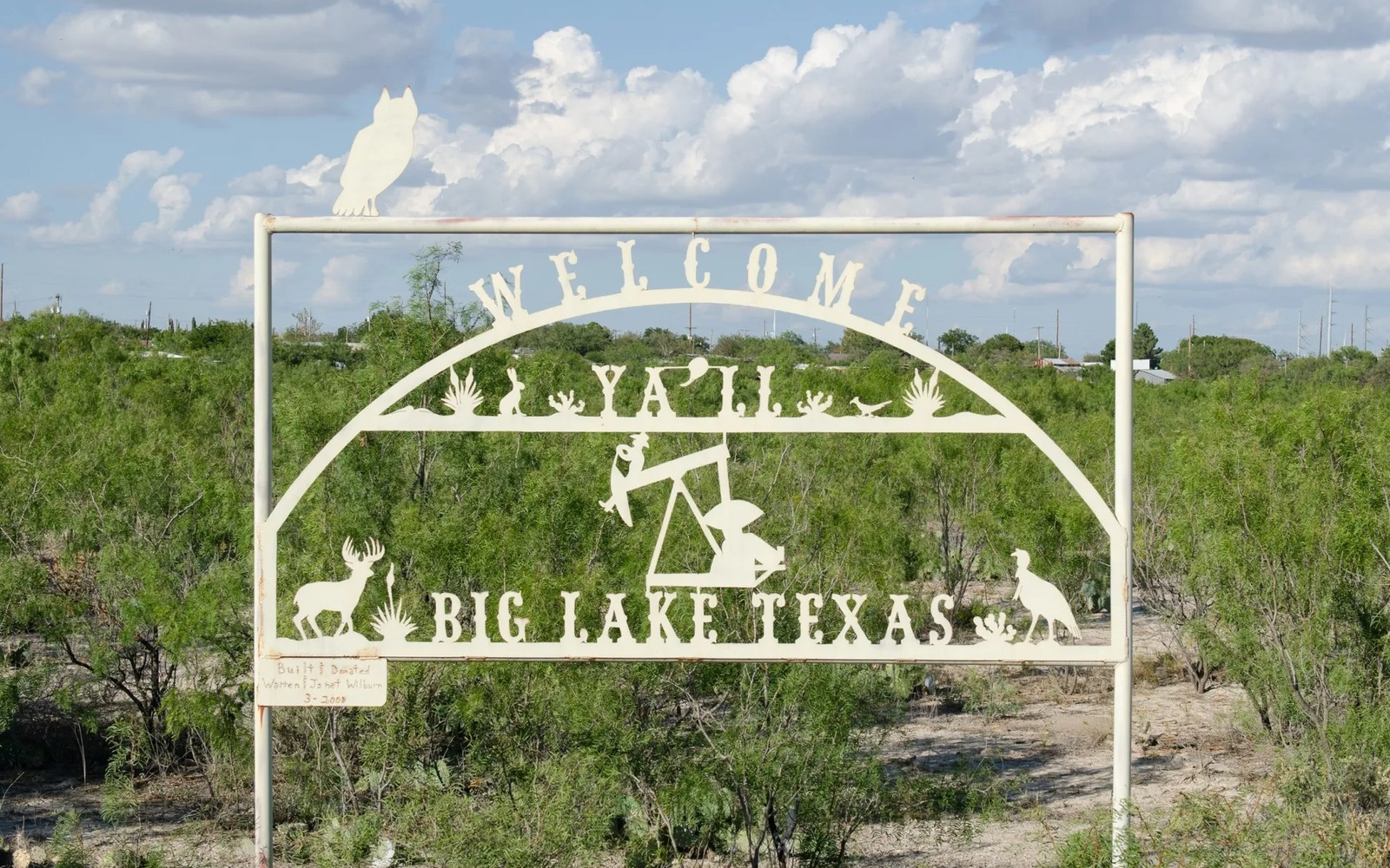

Big Lake is the town closest to the Santa Rita No. 1, the 1923 discovery well that opened the Permian Basin to development in the first place.
Reagan County holds a specific kind of history in West Texas oil and gas. The Santa Rita No. 1, drilled on land that had been donated to the Permanent University Fund, is what put this stretch of the basin on the map, and the royalties from University Lands acreage nearby have funded the University of Texas system for a century since. If you own minerals near Big Lake, you're sitting in the basin's founding ground.
A Century of Layered Production
Reagan County has seen nearly continuous development since the 1920s, and acreage around Big Lake often carries a long, layered production history, from early vertical wells through later waterflood projects to more recent horizontal Wolfcamp and Spraberry laterals. Each phase can leave its own paper trail in your division order history.
University Lands and Private Mineral Ownership
A significant portion of Reagan County acreage is University Lands, managed for the Permanent University Fund, which sits alongside privately owned mineral tracts in many of the same units. If your interest is private fee minerals near a University Lands block, your unit's development pace is often influenced by that neighboring institutional activity.
What a Century-Old Lease Means Today
Some mineral interests near Big Lake trace back to leases originally signed in the 1920s or 30s. If yours does, the chain of title likely runs through several generations of transfers, and confirming the current legal owners and their decimal interests through the Reagan County clerk is an essential step before any sale.
Start with the local record trail
A local sale review begins with the county recording office, legal description, deed chain, reservations, lease, units, division orders, payor records, statements, and regulatory well data.
Route local legal questions correctly
Probate, marital property, dormant-mineral law, pooling, recording, transfer tax, regulatory filings, and payor-notice rules differ between Texas and New Mexico counties and belong with qualified advisers.
Midland acquisitions desk
Questions Permian Owners Ask
These answers identify the controlling record, basin fact, title exception, timing issue, or offer term that still needs a documented answer.
Does the owner's interest being near the Santa Rita No. 1 site affect its value?
The historical significance doesn't set the price, current production and nearby drilling activity do. But the area's long production history often means there's a well-documented track record to evaluate, which helps in pricing accurately.
How does University Lands acreage affect the owner's private mineral interest?
If your acreage is pooled in a unit alongside University Lands minerals, development pace and operator activity are often tied to that larger institutional presence, which can work in your favor if it keeps the unit active.
the owner's family's lease dates back nearly a hundred years. Is that a problem?
Not necessarily, but it does mean more generations of transfer to verify. We check the full chain of title through the Reagan County clerk before finalizing any offer.
Is Reagan County still seeing new drilling?
Activity varies by section and shifts with commodity prices, with both legacy vertical units and newer horizontal development present. We check current permits near your specific acreage before pricing an offer.
Next property file
Continue the Permian sale brief
County records, deed schedules, producing evidence, and title questions carry straight into each of these connected reviews.
Contact us
Put This Interest on a Permian Sale Brief
Describe the county and state, interest type, producing status, operator or payor if known, recent checks if available, records already gathered, and the decision window.