
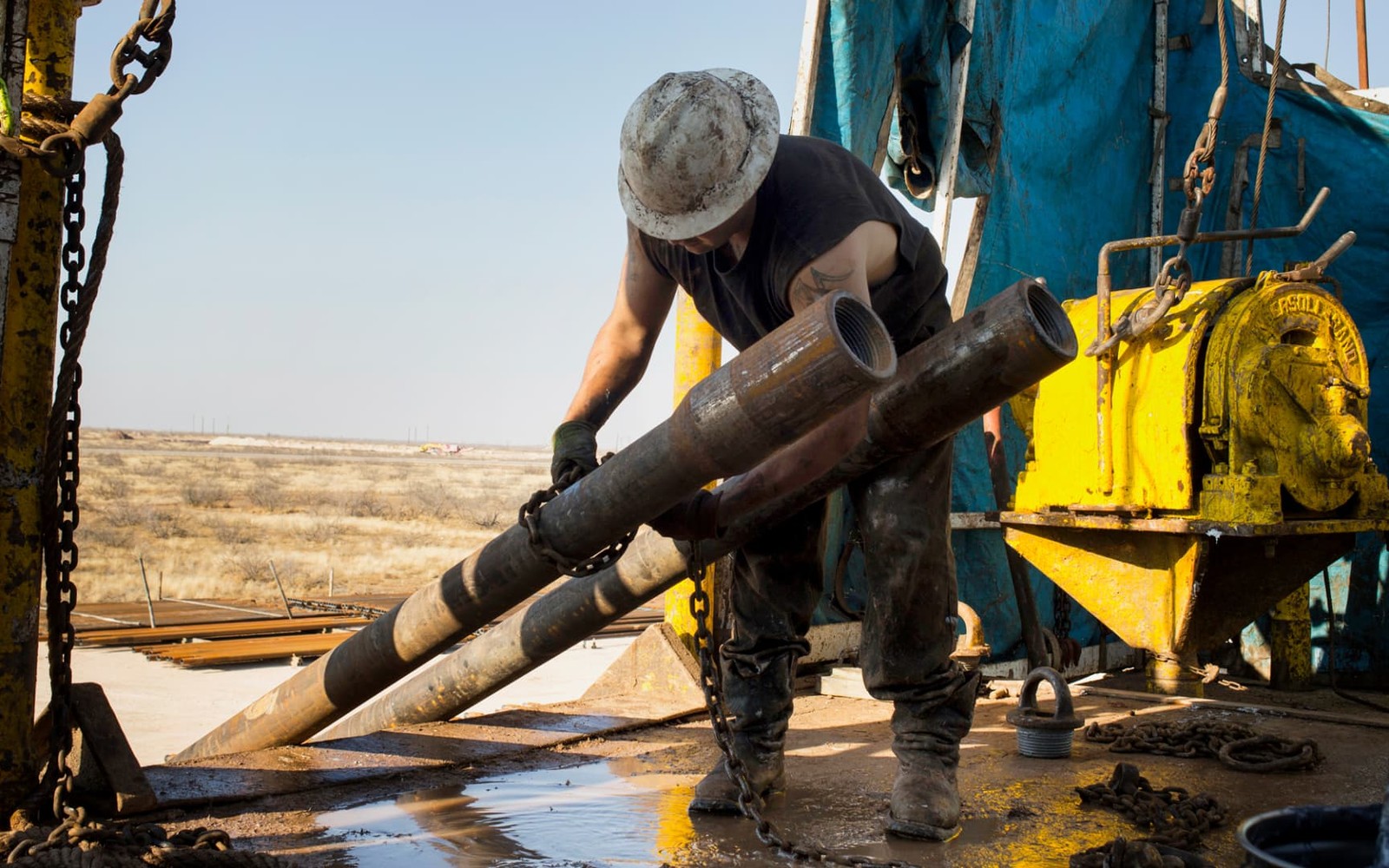
Coyanosa is a small farming community in Pecos County, sitting near ground that drew national attention when Apache Corporation announced the Alpine High discovery in 2016.
Historically known for cantaloupe and other irrigated farming, Coyanosa's profile changed when Alpine High put this stretch of the Delaware Basin's southern reach on operators' maps. Mineral ownership here mixes long-held farm-tract interests with acreage that's seen genuinely new leasing and development attention over the past several years.
From Farm Town to Basin Edge Play
The Alpine High announcement pulled operator attention toward the Reeves-Pecos-Culberson tri-county area, including ground near Coyanosa that had previously seen little modern horizontal activity. Development pace since then has varied with commodity prices, but the geologic interest in the area hasn't gone away, and permitting activity in the surrounding sections is still worth checking before assuming nothing has changed since 2016.
Irrigated Farmland Meets Oilfield Development
Coyanosa's farming heritage means surface use here is more actively contested than in purely ranch country, with irrigation infrastructure and cropland sitting above the same acreage operators are evaluating for horizontal laterals. That overlap can shape well placement and access timing.
Checking Current Activity Near Your Tract
Because interest in this specific corner of the basin has ebbed and flowed since 2016, we check current permits and any recent leasing activity near your acreage before pricing an offer, rather than relying on the Alpine High headline alone to set expectations.
Start with the local record trail
A local sale review begins with the county recording office, legal description, deed chain, reservations, lease, units, division orders, payor records, statements, and regulatory well data.
Route local legal questions correctly
Probate, marital property, dormant-mineral law, pooling, recording, transfer tax, regulatory filings, and payor-notice rules differ between Texas and New Mexico counties and belong with qualified advisers.
Midland acquisitions desk
Questions Permian Owners Ask
These answers identify the controlling record, basin fact, title exception, timing issue, or offer term that still needs a documented answer.
Is the Alpine High discovery still relevant to the owner's minerals near Coyanosa?
It put the area on the map, but actual development pace since 2016 has varied with commodity prices and operator strategy. We check current permits and leasing activity near your specific tract rather than rely on the original announcement.
Does irrigated farmland complicate drilling here?
It can affect surface access and well placement timing, since cropland and irrigation infrastructure sit above some of the same acreage being evaluated for development, though it doesn't change your underlying mineral ownership.
How does an owner know if the owner's Coyanosa-area interest has seen recent leasing activity?
We check Pecos County lease and permit records against your legal description as part of the offer process, so you get an accurate current picture rather than an outdated one.
Should an owner wait to see if drilling activity increases before selling?
That depends on your own timeline and risk tolerance, since future activity near Coyanosa isn't guaranteed. We give you a current, honest valuation based on what's actually on file today, so you can weigh it against the uncertainty of waiting.
Next property file
Continue the Permian sale brief
County records, deed schedules, producing evidence, and title questions carry straight into each of these connected reviews.
Contact us
Put This Interest on a Permian Sale Brief
Describe the county and state, interest type, producing status, operator or payor if known, recent checks if available, records already gathered, and the decision window.