
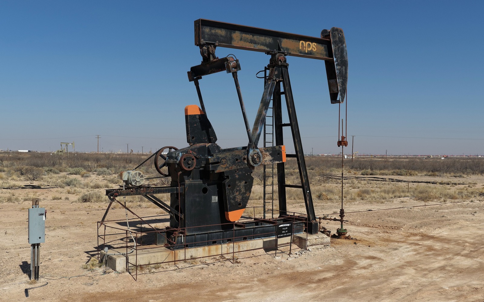
Barstow sits on the Pecos River in Ward County, a small farming community with a mineral estate layered by decades of legacy vertical production.
Ward County has a long oil history dating back well before the Delaware Basin's recent horizontal boom, and Barstow's location along the Pecos River adds an agricultural layer to the mix, with irrigation districts drawing on the same river that's shaped surface use here for generations.
Legacy Vertical Wells Under Farmland
Much of the production history around Barstow traces back to older vertical wells rather than recent horizontal development. If your interest here is inherited, it may be tied to a lease originally signed decades before Bone Spring horizontals became the norm in the wider Delaware Basin, which means the royalty fraction and terms could look very different from what a new lease would offer today.
Pecos River Water Rights and Surface Use
Barstow's location within the Pecos River irrigation district means surface use around here is genuinely contested between farming and oilfield operations in a way it isn't in drier parts of Ward County. That surface complexity doesn't change your mineral ownership, but it can affect how quickly new development moves forward.
Checking for Newer Development Nearby
While Barstow itself sits on ground with a mostly legacy production history, newer Delaware Basin horizontal activity has expanded across parts of Ward County. We check current permits near your specific tract to see whether that expansion has reached your acreage before pricing an offer.
Start with the local record trail
A local sale review begins with the county recording office, legal description, deed chain, reservations, lease, units, division orders, payor records, statements, and regulatory well data.
Route local legal questions correctly
Probate, marital property, dormant-mineral law, pooling, recording, transfer tax, regulatory filings, and payor-notice rules differ between Texas and New Mexico counties and belong with qualified advisers.
Midland acquisitions desk
Questions Permian Owners Ask
These answers identify the controlling record, basin fact, title exception, timing issue, or offer term that still needs a documented answer.
Is the owner's interest near Barstow from an old vertical well or a newer horizontal unit?
We check your legal description against Ward County and Railroad Commission unit records to identify exactly what's producing under your acreage before making an offer.
Does the Pecos River irrigation district affect the owner's mineral rights?
It doesn't change your ownership, but the surface-use overlap between farming and oilfield operations here can affect how quickly new wells get permitted and drilled.
Is Ward County seeing new Delaware Basin drilling near Barstow?
Activity has expanded across parts of the county in recent years, though it varies section to section. We check current permits near your specific acreage before pricing rather than quote a countywide figure.
Does farmland near Barstow ever get purchased with mineral rights included?
Surface and mineral estates are frequently severed here, so a farm sale doesn't automatically include the minerals underneath. We verify who currently holds the mineral estate through Ward County deed records before making an offer.
Next property file
Continue the Permian sale brief
County records, deed schedules, producing evidence, and title questions carry straight into each of these connected reviews.
Contact us
Put This Interest on a Permian Sale Brief
Describe the county and state, interest type, producing status, operator or payor if known, recent checks if available, records already gathered, and the decision window.