
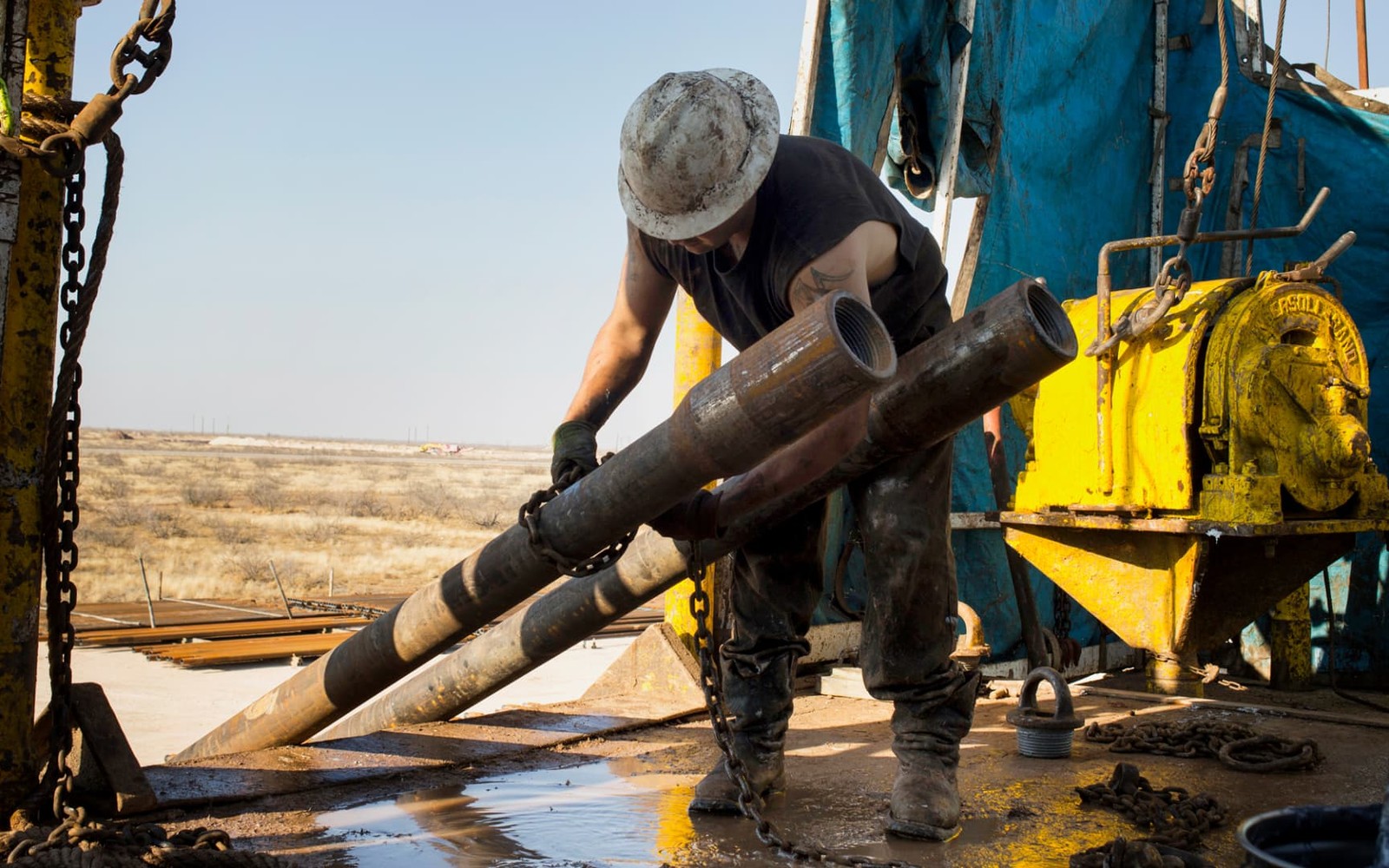
Balmorhea sits on the southern edge of Reeves County, where the Delaware Basin's productive core begins to taper toward the Toyah Basin transition zone.
Known regionally for its spring-fed swimming pool and as a small ranching and farming community, Balmorhea sits at a geologic edge rather than dead center of the Delaware Basin's most active drilling. Reeves County as a whole has been one of the busiest Bone Spring and Wolfcamp counties in the country over the past decade, but activity thins as you move south toward Balmorhea.
Edge-of-Fairway Positioning
Reeves County's most intense horizontal development has concentrated further north, closer to Pecos and Toyah. Acreage around Balmorhea can still sit within productive reach of Bone Spring and Wolfcamp benches, but well density and completion frequency here tend to be lower than in the county's core.
Water, Agriculture, and Surface Overlap
Balmorhea's springs and irrigated farmland make surface-use considerations more prominent here than in drier stretches of the basin. Operators working near sensitive water features often face additional permitting scrutiny, which can affect the pace of development even where mineral rights are fully leased.
That surface sensitivity doesn't erase the value of the minerals underneath, but it does mean owners near Balmorhea should expect a longer runway between leasing and an actual spud date than those holding in open ranch country further north in Reeves County.
Confirming Fairway Position Before Pricing
Because Balmorhea sits closer to the basin's edge than its core, we check current permits and offset well activity near your specific tract before pricing an offer, rather than assuming Reeves County's overall drilling intensity applies evenly to acreage this far south.
Start with the local record trail
A local sale review begins with the county recording office, legal description, deed chain, reservations, lease, units, division orders, payor records, statements, and regulatory well data.
Route local legal questions correctly
Probate, marital property, dormant-mineral law, pooling, recording, transfer tax, regulatory filings, and payor-notice rules differ between Texas and New Mexico counties and belong with qualified advisers.
Midland acquisitions desk
Questions Permian Owners Ask
These answers identify the controlling record, basin fact, title exception, timing issue, or offer term that still needs a documented answer.
Is Balmorhea acreage as active as the rest of Reeves County?
Generally less so. The county's heaviest Bone Spring and Wolfcamp development has concentrated further north, so we check specific offset activity near Balmorhea rather than assume the countywide pace applies.
Do the springs near Balmorhea affect drilling on the owner's minerals?
Sensitive water features nearby can add permitting scrutiny for operators, which may slow development timelines even where leasing has occurred. It's a real factor in how we assess near-term drilling likelihood.
Is the owner's interest still worth selling if it's on the edge of the fairway?
It can be, particularly if any nearby offset wells or planned units are on file. We evaluate based on your specific tract's actual activity rather than a general fairway-edge discount.
How do you determine where the fairway edge actually falls near Balmorhea?
We check Railroad Commission permit and completion data for the sections closest to your acreage, since the practical boundary of active development shifts over time and doesn't follow a fixed line on a map.
Next property file
Continue the Permian sale brief
County records, deed schedules, producing evidence, and title questions carry straight into each of these connected reviews.
Contact us
Put This Interest on a Permian Sale Brief
Describe the county and state, interest type, producing status, operator or payor if known, recent checks if available, records already gathered, and the decision window.