
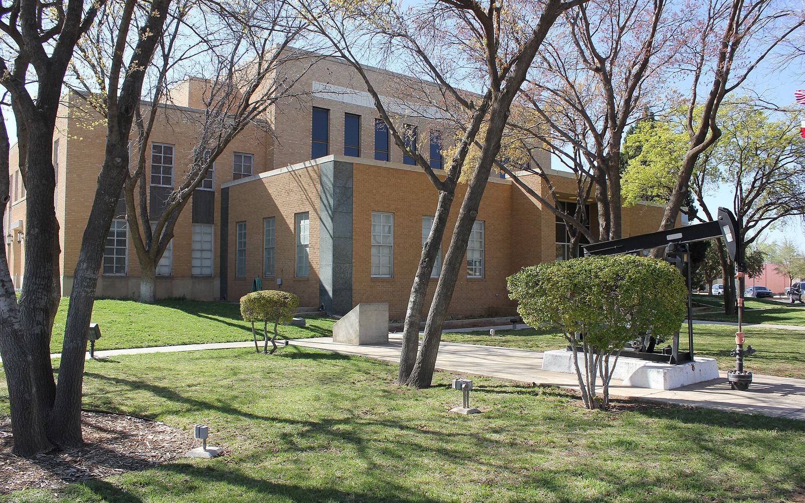
Andrews County sits on the western edge of the Central Basin Platform, where the old San Andres fields meet newer Wolfberry laterals, and we price both.
Andrews County has been producing since the 1930s, and that long history means most mineral owners here fall into one of two camps: legacy interests tied to the Wasson field's San Andres waterflood, or newer fractional interests picked up by horizontal Spraberry and Wolfcamp development pushing in from Midland County to the east. Both trade differently, and knowing which one you own changes what a fair offer looks like.
The county seat, Andrews, sits near the geographic center of the county and is the courthouse of record for every mineral deed, lease, and division order tied to acreage here. If your family's interest traces back to a 1940s or 1950s lease, the chain of title usually runs through that courthouse, and it's worth pulling before you sign anything.
Wasson Field Legacy Interests
The Wasson field, straddling Andrews and Yoakum counties, is one of the largest oil fields ever discovered in Texas, and it's been under CO2 flood management for decades. Owners with interests dating to the original San Andres discovery wells typically hold small fractional shares split across generations, with royalty checks that track a mature waterflood decline curve rather than a new well spike.
These legacy interests are valued differently than fresh horizontal acreage. Buyers look at the flood's remaining reserve life, the operator's track record on the unit, and how consistent your check has been over the trailing 12 to 24 months, since a stable mature stream commands a different multiple than a volatile one.
Wolfberry and Wolfcamp Development
West of the town of Andrews, operators have extended Spraberry and Wolfcamp horizontal development from the Midland Basin core, stacking laterals under sections that were held by production from vertical wells decades ago. If your minerals sit under one of these newer units, your interest may be diluted across a much larger pooled unit than the original lease contemplated.
That dilution isn't necessarily bad for value if the unit has multiple productive intervals underneath it, but it does mean your net revenue interest needs to be checked against the pooling designation on file with the Railroad Commission, not assumed from the original lease acreage. In practice this means two neighbors who each own the same raw mineral acreage can end up with very different decimal interests once the actual unit boundaries are drawn.
The Central Basin Platform Advantage
Andrews County's position on the Central Basin Platform gives it a somewhat different geologic profile than counties squarely inside the Midland Basin trough. The platform structure has historically supported strong San Andres production and, more recently, has allowed operators to test Wolfcamp intervals with results that vary more from block to block than in the deeper basin center.
That variability cuts both ways for owners. It means a countywide average tells you less here than it would in a more geologically uniform county, and it also means checking recent offset well results near your specific section is worth the effort before you accept a number that assumes uniform Midland Basin economics.
Split Estate and Ranch Ownership
A meaningful share of Andrews County's mineral estate is still held by ranching families whose ancestors retained minerals when they sold or subdivided surface acreage decades ago. If you inherited a fractional interest from one of these original holdings, expect your share to be small on paper but potentially valuable if it sits under an active or planned unit.
Split estate here also means the surface owner and mineral owner are often different parties, so your access to well information, division orders, and even drilling notices depends on your operator keeping accurate contact records. Confirming your address is current with the operator of record is a simple step that's easy to overlook.
Midland acquisitions desk
Questions Permian Owners Ask
These answers identify the controlling record, basin fact, title exception, timing issue, or offer term that still needs a documented answer.
What determines value for an Andrews County mineral interest?
Location relative to the Central Basin Platform matters most. Acreage in active Wolfcamp or Spraberry units, with recent completions nearby, typically prices differently than legacy San Andres interests under mature waterfloods, and any specific figure should be tied to your actual division order and recent checks, not a countywide average.
Does an owner need a landman to check the owner's title before selling?
For most straightforward sales we handle title verification through the Andrews County clerk's records ourselves as part of the offer process, but if your interest has a complicated inheritance history or unresolved probate, an independent landman opinion can save time on the back end.
Is the owner's interest still valuable if it's under a mature waterflood?
Yes, though the pricing approach differs from a new horizontal well. Mature interests are typically valued on trailing production history and remaining flood life rather than type-curve projections, so recent check consistency carries real weight.
How fast can a sale close on Andrews County minerals?
Once we confirm your legal description and net revenue interest against the county records, a straightforward sale with clean title can close in a few weeks. Interests with title issues or open probate take longer while those get resolved.
Why does Andrews County's Central Basin Platform location matter for value?
It means production results can vary more block to block than in the deeper Midland Basin trough, so a countywide average is less reliable here. We check offset well results near your specific section rather than apply a blanket figure.
Next property file
Continue the Permian sale brief
County records, deed schedules, producing evidence, and title questions carry straight into each of these connected reviews.
Contact us
Put This Interest on a Permian Sale Brief
Describe the county and state, interest type, producing status, operator or payor if known, recent checks if available, records already gathered, and the decision window.