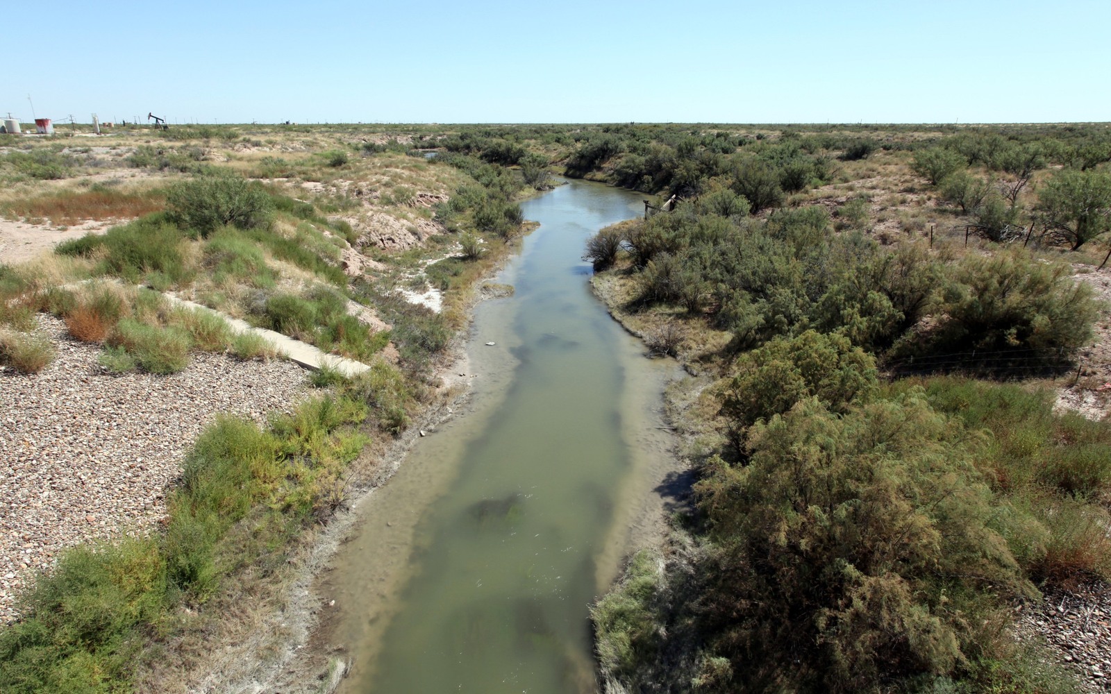
Grandfalls is one of the smallest towns touching the Delaware Basin, a Pecos River farming community whose mineral history runs quieter than its neighbors to the north.
With a population that's dwindled to a few dozen residents, Grandfalls is easy to overlook on a basin map, but the surrounding Ward County acreage has a real, if modest, oil history tied mostly to legacy vertical wells rather than the horizontal Delaware Basin activity concentrated further north in Reeves and Loving counties.
A Legacy Production Footprint
Most of the production history around Grandfalls predates the current horizontal drilling era, meaning many mineral interests here are tied to older vertical leases with modest, steady royalty checks rather than the sharper decline curves of new completions. That steadiness is worth something in its own right, even without the upside story of a newly drilled unit.
River Water and Farming Overlap
As with Barstow further downstream, Grandfalls sits within the Pecos River irrigation district, and the overlap between farmland and oilfield operations here shapes surface access even though it doesn't change mineral ownership itself. Irrigated cropland and grazing land often sit directly above the same leased tracts, which is a normal part of doing business in this stretch of Ward County.
Small Town, Small Interests, Real Value
Because Grandfalls is so small, mineral interests tied to it are often modest fractional shares. We still verify these fully through Ward County records and price them based on actual production, since a small interest with consistent history is a legitimate asset worth evaluating properly.
Start with the local record trail
A local sale review begins with the county recording office, legal description, deed chain, reservations, lease, units, division orders, payor records, statements, and regulatory well data.
Route local legal questions correctly
Probate, marital property, dormant-mineral law, pooling, recording, transfer tax, regulatory filings, and payor-notice rules differ between Texas and New Mexico counties and belong with qualified advisers.
Midland acquisitions desk
Questions Permian Owners Ask
These answers identify the controlling record, basin fact, title exception, timing issue, or offer term that still needs a documented answer.
Is there still active oil production near Grandfalls?
Much of the area's production history is legacy vertical drilling rather than recent horizontal development. We check current status and offset activity near your specific tract before making an offer.
Does being in the Pecos River irrigation district affect the owner's interest?
It can affect surface access for operators working near farmland, but it doesn't change your underlying mineral ownership or royalty entitlement.
the owner's interest near Grandfalls is very small. Is it still worth selling?
It can be, particularly if the underlying lease has a consistent production history. We evaluate based on your actual interest and revenue rather than dismissing small fractional shares.
How does an owner even find out what the owner holds near Grandfalls?
We trace your legal description and current lease status through Ward County clerk records, which is often the fastest way to clarify ownership for a small town with limited local record access of its own.
Is there any chance of new drilling reaching Grandfalls in the future?
It's possible as Delaware Basin activity continues to shift south from Reeves and Loving counties, but nothing is guaranteed. We give you a current valuation based on what's actually on file rather than speculating on future activity.
Next property file
Continue the Permian sale brief
County records, deed schedules, producing evidence, and title questions carry straight into each of these connected reviews.
Contact us
Put This Interest on a Permian Sale Brief
Describe the county and state, interest type, producing status, operator or payor if known, recent checks if available, records already gathered, and the decision window.