
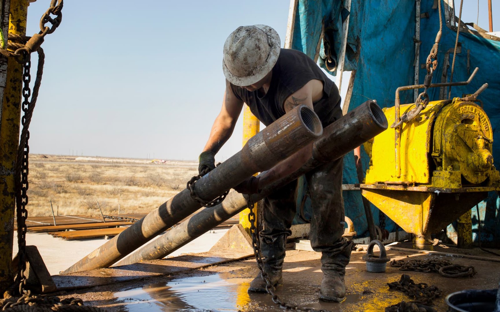
Sand Springs sits toward the eastern edge of the Midland Basin, which is exactly the kind of location where checking current activity matters more than assuming based on the county's reputation.
Sand Springs is a small community in Howard County near Big Spring, positioned on what's generally considered the eastern flank of the Midland Basin rather than its most densely drilled core. That doesn't make mineral interests here less valuable, but it does mean valuation depends more on the specific well or unit your tract is tied to than on general county-level drilling statistics.
Flank Acreage Prices Differently Than Core Acreage
Basin-edge locations like this one can have real, productive wells alongside acreage where operators haven't drilled in years. We look at your tract's actual production and any nearby permitting rather than assuming activity levels based on the Midland Basin's overall reputation.
What Your Paperwork Tells Us
A division order or recent check stub gives us your decimal interest and the well it's attached to. From there we check Railroad Commission records for current operator and production trend, since older division orders sometimes lag actual current status.
If Your Interest Has Gone Quiet
Some Howard County interests near Sand Springs have seen production slow or stop as older wells decline. That doesn't mean the interest has no value, but it does change how we approach pricing, weighting the long-term historical trend and any nearby activity rather than a recent check that may show little or nothing.
Start with the local record trail
A local sale review begins with the county recording office, legal description, deed chain, reservations, lease, units, division orders, payor records, statements, and regulatory well data.
Route local legal questions correctly
Probate, marital property, dormant-mineral law, pooling, recording, transfer tax, regulatory filings, and payor-notice rules differ between Texas and New Mexico counties and belong with qualified advisers.
Midland acquisitions desk
Questions Permian Owners Ask
These answers identify the controlling record, basin fact, title exception, timing issue, or offer term that still needs a documented answer.
Is Sand Springs part of the most active drilling area in the Midland Basin?
It's on the basin's eastern flank, generally less densely drilled than the core, though specific tracts can still see real activity. We check your section directly rather than generalizing from the wider area.
the owner's check has gotten smaller over the last few years. Does that mean the owner's interest isn't worth much?
Not necessarily. A declining check reflects a well moving further along its curve, which we factor into the number, but the interest itself still has value based on remaining production and any offset potential.
What documentation do you need to get started?
A division order or recent check stub is the fastest starting point. If you don't have either, a legal description or your name on a prior lease works too.
How do you factor Big Spring's proximity into a Sand Springs valuation?
We treat it as context, not a substitute for local data. Regional service infrastructure around Big Spring doesn't change what your specific tract is producing or what's permitted nearby, so we still price off your section's own numbers.
Next property file
Continue the Permian sale brief
County records, deed schedules, producing evidence, and title questions carry straight into each of these connected reviews.
Contact us
Put This Interest on a Permian Sale Brief
Describe the county and state, interest type, producing status, operator or payor if known, recent checks if available, records already gathered, and the decision window.