Reeves County has drilled more horizontal wells in the last decade than most owners can track, and that pace is exactly why a stale valuation can leave real money on the table.
Pecos, the county seat, has been at the center of one of the most active drilling stretches in the entire Permian Basin since roughly 2016. Reeves County sits squarely in the Delaware Basin's deepest, thickest section of stacked pay, with Wolfcamp, Bone Spring, and Delaware sand horizons all targeted by horizontal operators, sometimes three or four benches under the same surface acre. That density is unusual even by Permian standards, and it means mineral value here can shift meaningfully in a single permitting cycle.
It also means water matters as much as oil in some parts of the county. Produced-water gathering, recycling, and disposal infrastructure has expanded fast around Pecos and Toyah, and some mineral owners hold interests tied to surface use agreements or water rights alongside their oil and gas minerals, which we evaluate as a separate line item.
Stacked Pay Changes How We Price a Tract
When an operator can target multiple benches from one surface location, a single section of Reeves County acreage can have several producing or permitted wellbores stacked at different depths, each covered by its own division order. We look at the full stack, rather than only the well your most recent check references, because an owner with one producing Wolfcamp well and three permitted Bone Spring wells underneath it has meaningfully more near-term value than the trailing check alone suggests.
The flip side is real too: some acreage got leased and held during the peak of activity but never drilled, and operator capital plans have slowed since. We check current permitting status before pricing rather than assuming activity from five years ago still applies.
Pecos, Toyah, Balmorhea, and the County's Shape
Reeves County stretches from the intensely active Delaware Basin core near Pecos and Orla down toward Balmorhea and Toyah, where the geology is still productive but development has been less dense. Location within the county matters for valuation almost as much as which formation you're in, since offset well density and near-term drilling plans vary block by block.
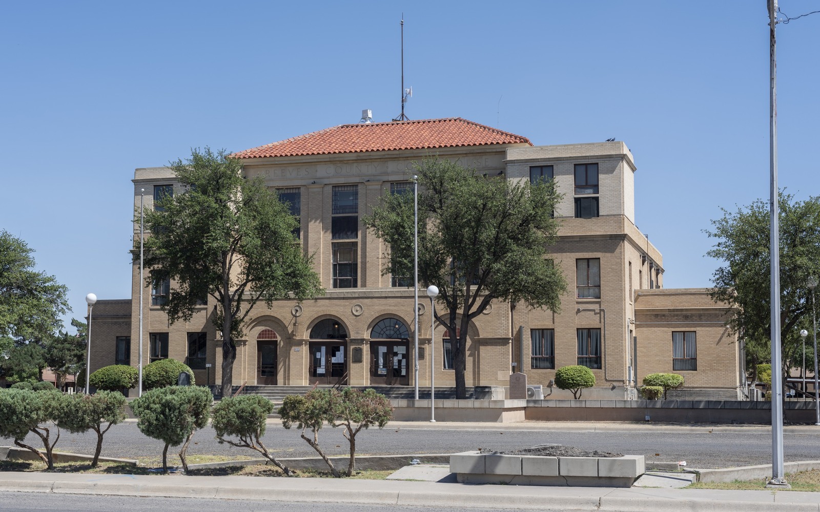
The county clerk's office in Pecos has processed an unusually high volume of horizontal pooling and unit designation filings over the last several years, and confirming your interest against the current, correct unit rather than an outdated one is a routine but necessary step before we quote.
What a Reeves County Seller Typically Holds
Interests here range from long-held family ranch minerals leased fresh during the 2016-2019 buildout, to smaller fractional interests acquired or inherited more recently that are already sitting in a producing horizontal unit. Royalty rates on newer leases commonly run at or above the one-fifth standard given how competitive leasing was during the county's peak activity years.
Because so much of Reeves County drilling is recent, decline curves here tend to be steep in year one and two before flattening, which is different math than an owner might be used to from an older, slower Permian county.
Orla and the Northern Stretch
The area around Orla, in the northern part of the county along the Loving County line, has been one of the busiest patches of horizontal permitting in the entire Delaware Basin over the last several years. Interests up here tend to show the steepest early declines and the most frequent unit re-designations, so we lean especially hard on current Railroad Commission data rather than an older lease's original terms when pricing acreage in this part of Reeves County.
Owners further south, closer to Balmorhea, are more likely to see a mix of quieter legacy production alongside occasional newer permits, which we price with a bit more weight on historical trend.
Midland acquisitions desk
Questions Permian Owners Ask
These answers identify the controlling record, basin fact, title exception, timing issue, or offer term that still needs a documented answer.
How do multiple stacked wellbores affect what the owner's interest is worth?
If your tract has production or permits across more than one formation, that generally increases value versus a single-well interest, because it represents multiple potential revenue streams rather than one. We evaluate the full stack under your acreage, rather than only the well tied to your current division order.
Do you buy interests tied to produced-water agreements in Reeves County?
We primarily buy oil and gas mineral and royalty interests. Where a water agreement is tied to the same tract, we'll ask about it during title review and let you know whether and how it factors into the overall picture, but it's evaluated separately from the mineral value.
the owner's well was drilled recently and production looks like it's already dropping fast. Is that normal?
Yes. Wolfcamp and Bone Spring horizontals in Reeves County typically show a steep decline in the first twelve to eighteen months before leveling into a longer, lower-volume tail. That curve shape is expected and we price around it rather than treating early decline as a red flag.
How current is the permitting data you use to value the owner's tract?
We check Railroad Commission permitting and completion filings close to the time we prepare your offer, since activity in parts of Reeves County can change meaningfully within months. If your tract's status has changed since we last reviewed it, we'll re-check before finalizing a number.
Next property file
Continue the Permian sale brief
County records, deed schedules, producing evidence, and title questions carry straight into each of these connected reviews.
Contact us
Put This Interest on a Permian Sale Brief
Describe the county and state, interest type, producing status, operator or payor if known, recent checks if available, records already gathered, and the decision window.